DRONE INSPECTION SERVICES IN NAPLES, FL
Precision Drone Services for Serious Projects.
(Naples Experts)
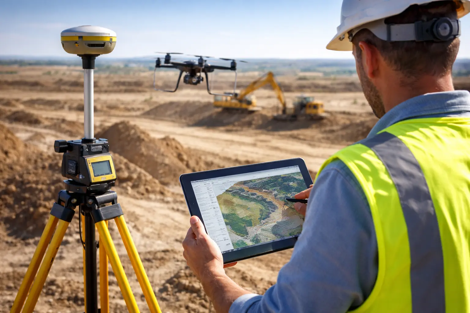
RTK-enabled drone inspections that reduce guesswork and speed up project execution.
Why Organizations Choose Sunshine Mapping
Engineering-grade aerial inspections led by certified field professionals.
• Direct communication with project lead
• Fast on-site mobilization
• Industrial and infrastructure focus
• Clear scope definition before deployment
• Structured execution from planning to reporting
(About Us)
Founded by Hector Vargas, Sunshine Mapping was built to deliver reliable, inspection-grade aerial data for industrial and infrastructure projects. With hands-on field experience and a structured operational approach, every deployment is executed with precision, compliance, and accountability.

Advanced Aerial Inspection & Data Capabilities
Site documentation, progress tracking, and structural condition assessment for active and planned developments.
01
Photogrammetry & 3D Modeling
Georeferenced orthomosaics and detailed 3D surface reconstruction for measurable spatial documentation.
02
Thermal IR Inspections
Radiometric infrared capture for temperature differentials and anomaly identification.
03
Multispectral & Agricultural Analysis
Advanced spectral indexing for vegetation health assessment and land condition analysis.
04
Utility & Infrastructure Assessment
Precision imaging workflows for structural evaluation of vertical and linear assets.
05
Gas Detection & Environmental Monitoring
Sensor-integrated aerial systems configured for emission detection and environmental measurement.
06
Bathymetric & Subsurface Mapping (GPR)
Integrated depth mapping and ground-penetrating data acquisition for subsurface evaluation.
07
LiDAR & Topographic Mapping
High-density point cloud acquisition for elevation modeling, terrain analysis, and volumetric computation.
Precision Surveying for Land Development & Site Engineering.
Actionable terrain intelligence for planning, grading, and construction decision-making in Naples and Southwest Florida.
Industries We Support
Operational support across infrastructure, industrial, and land-based sectors.
Construction & Engineering
Strengthen connection
Site documentation, progress tracking, and structural condition assessment for active and planned developments.
Industrial & Manufacturing
Culture pulse & insights
Facility inspection and asset evaluation within operational environments.
Energy & Utilities
Infrastructure review for transmission lines, substations, pipelines, and energy assets.
Agriculture & Land Management
Field analysis and land condition monitoring for agricultural operations and property management.
Commercial & Facility Management
Building envelope evaluation and asset oversight for managed properties.
Public Infrastructure & Municipal Projects
Aerial documentation and condition assessment for roads, bridges, drainage systems, and civic structures.
• FAA-compliant flight operations
• RTK/PPK precision workflows
Inspection & Survey Services
Targeted aerial inspection and survey solutions designed for measurable field outcomes.


Development Land Surveys
Elevation modeling and terrain data collection for planning and development analysis.
Construction Progress Documentation
Measured site updates aligned with project milestones and reporting requirements.
Industrial Facility Assessments
Operational asset and infrastructure condition review within active environments.
Insurance Damage Reporting
Structured visual documentation prepared for claims evaluation and compliance review.
Roof & Structural Inspections
Thermal and visual assessments for moisture detection and structural evaluation.
Infrastructure Condition Monitoring
Ongoing structural evaluation of vertical and linear assets across complex sites.
Engineering-Grade Accuracy & Compliance
FAA-compliant operations supported by calibrated workflows and controlled data standards.
Expertises
• FAA Part 107 compliant operations
• RTK/PPK georeferenced workflows
• Survey-ready structured deliverables
• Standardized inspection reporting formats
• Secure data management protocols
• Risk-assessed flight planning
Our Inspection Process

Sunshine Mapping - Operations
LiDAR and thermal configuration available. Airspace and scope verification will be completed prior to scheduling.

Facilities Manager
Please include engineering-ready deliverables and calibrated thermal overlays.
Sunshine Mapping - Operations
Confirmed. Structured datasets and inspection reports will follow project specifications.
1
Initial Contact
Project requirements are received and reviewed.
3
Field Execution
Data is captured using calibrated RTK/PPK-enabled systems.
2
Scope & Planning
Airspace, risk assessment, and inspection parameters are defined.
4
Rapid Deployment
Processed datasets and structured reports are delivered for review.
Testimonials
Drone Inspection FAQs
How accurate are LiDAR and RTK-enabled drone surveys?
LiDAR and RTK/PPK-enabled systems can achieve centimeter-level accuracy when properly calibrated and processed. This level of precision makes them suitable for topographic mapping, volumetric measurements, infrastructure assessments, and engineering-grade documentation.
Are drone inspections accepted for insurance and engineering documentation?
Yes. Structured aerial inspections are commonly used to support insurance claims, damage assessments, and engineering reviews. We provide organized visual evidence, mapped outputs, and technical reports suitable for professional documentation.
Do you operate under FAA regulations in Naples airspace?
All flight operations are conducted in accordance with FAA regulations. Our remote pilot certification is active and registered under FAA license number 5246186. Airspace is reviewed prior to deployment, and when required, authorization procedures are followed to ensure compliant and safe operations.
What deliverables are included in an industrial or infrastructure inspection?
Depending on project scope, deliverables may include high-resolution imagery, orthomosaic maps, 3D models, LiDAR point clouds, thermal overlays, volumetric calculations, and structured inspection reports ready for review.
How quickly can a site inspection be scheduled and completed?
Deployment timelines depend on project scope and airspace conditions. In many cases, inspections can be scheduled within days, with structured deliverables provided shortly after data processing and quality verification.
